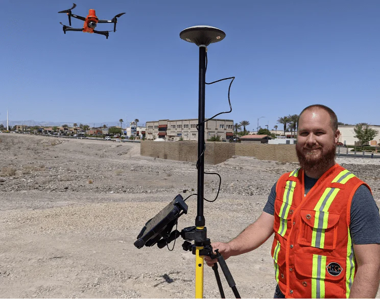
USE OF DRONES
IN MAPPING
How useful are quadcopters in mapping?
Drones help improve the accuracy and efficiency of mapping work and make it more accessible for a wide range of applications.
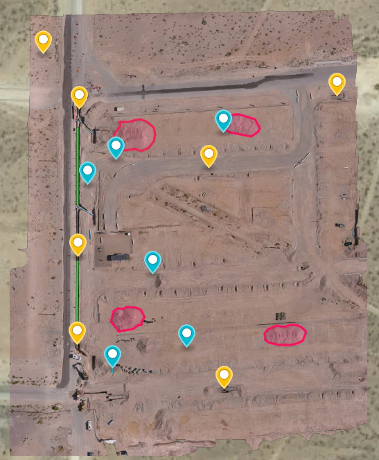
Using drones is simple. To plan a route, it is enough to create a route on a mobile phone, easily start the drone and get a monitoring image.
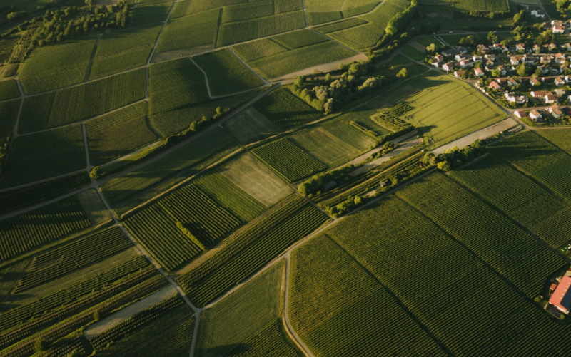
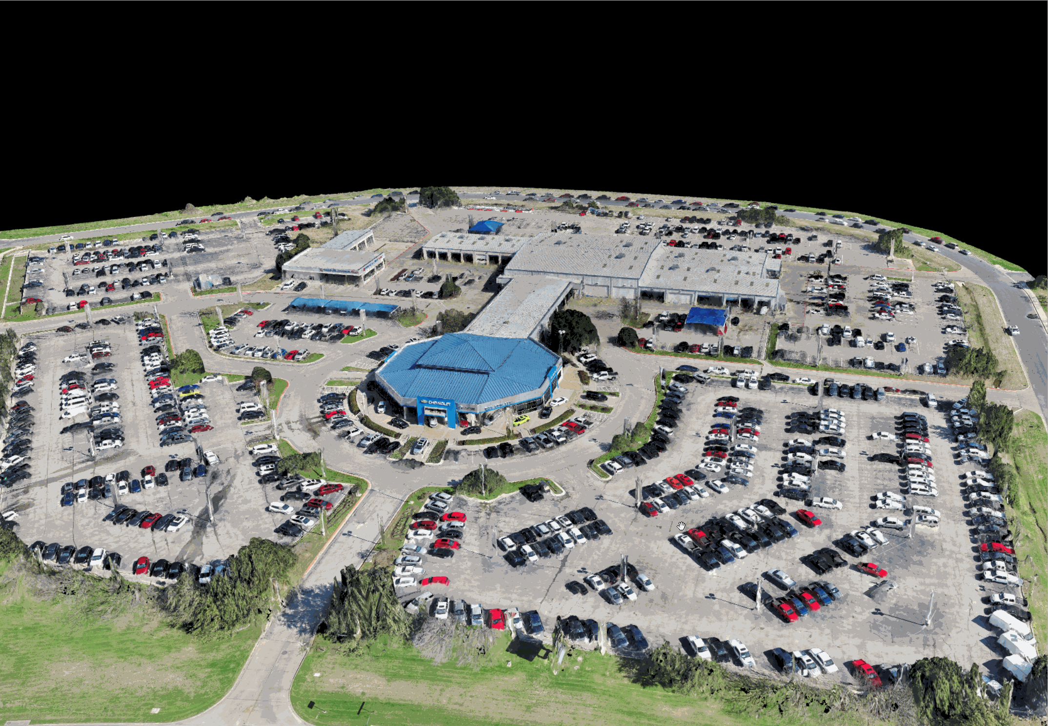
Aerophotography
Drones can perform high-quality aerial photography, which allows for the creation of detailed cartographic images and maps. They are able to fly at a low altitude and get high-quality pictures from different angles.
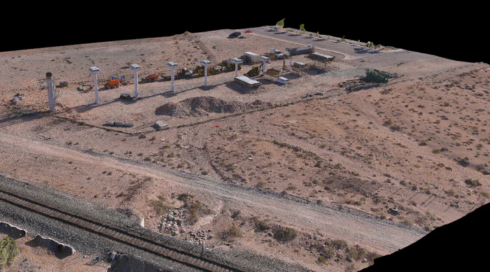
Creation of 3D models
Drones can collect data to create 3D maps of areas and objects, which helps in accurate modeling of geographic features.
High resolution maps
With the help of drones, you can create high-resolution maps, which is especially useful for urban planning, forestry, archeology and many other fields.
Mapping of hard-to-reach places
Drones can easily access hard-to-reach areas, such as mountains, jungles or remote islands, and allow you to create detailed maps of these areas.
Detection of diseases and pests
Monitoring changes in landscapes: With the help of drones, you can monitor changes in landscapes due to natural disasters, deforestation, construction and other factors.
Search and rescue
Drones are used to search for lost or injured persons in emergency situations.
Pollution monitoring
Drones can detect pollution of water sources and land areas, which helps in environmental protection.

Drones that may interest you:
-
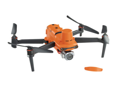
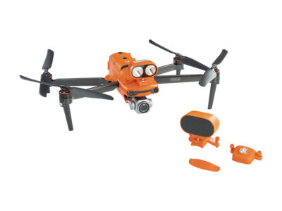
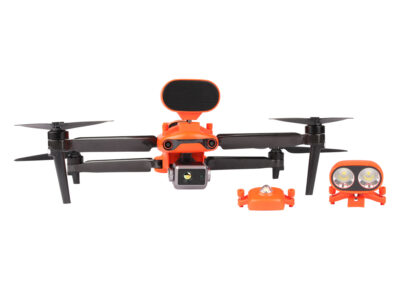
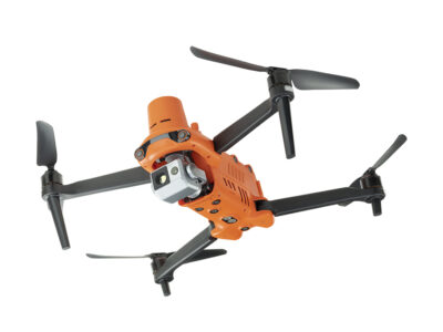
Quadcopter Autel EVO II Pro RTK V3 Rugged Bundle
3399,00 € -
Quadcopter Autel EVO II Pro V3 Rugged Bundle
2249,00 € -
Quadcopter Autel EVO II Dual 640T V3 Rugged Bundle
5299,00 € -
Quadcopter Autel EVO II Pro Enterprise V3 Rugged Bundle
3699,00 € -
Quadcopter Autel EVO II Dual 640T Enterprise V3 Rugged Bundle
5949,00 € -

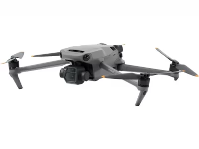
Quadcopter DJI Mavic 3T (Universal Edition )
4700,00 € -
Quadcopter Autel EVO II Dual 640T RTK V3 Rugged Bundle
5299,00 € -
Quadcopter DJI Mavic 3
1800,00 € -

Quadcopter DJI Mavic 3 Pro
1900,00 € -
Quadcopter DJI Mavic 3 Classic
1900,00 € -

Quadcopter DJI Mavic 3 Thermal Universal Edition
5000,00 € -
Quadcopter DJI Mavic 3 Fly More Combo
1785,00 €