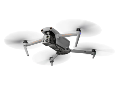
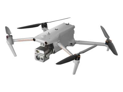
DJI Mavic 3 Enterprise Series
Quadcopter for any mission
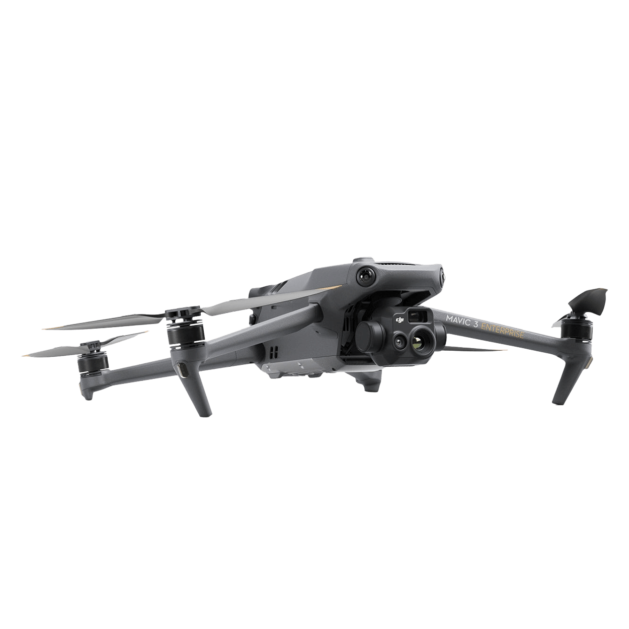
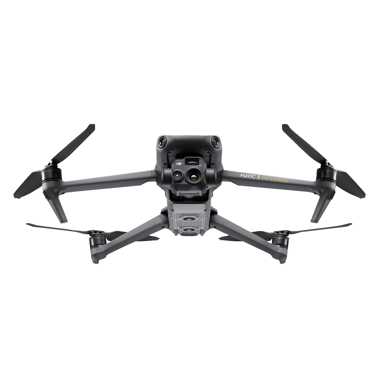
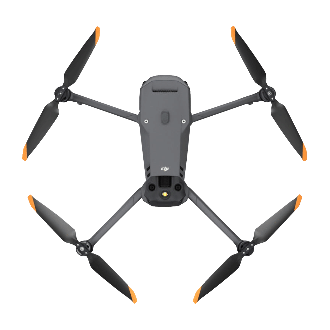

A professional drone that combines flight power with unique thermal imaging capabilities. Equipped with a high-quality thermal imager, the Mavic 3T allows you to detect and recognize thermal images with great clarity.
– 15 km data transmission range
– 45 minutes flight duration
– 1/2 CMOS sensor
– RTK module for positioning accuracy up to cm
– Comprehensive detection of obstacles
4700,00 €
Available on backorder
1 x Mavic 3T quadcopter
1 x DJI Mavic 3 Battery
1 x 64GB memory card
1 x Camera and Stabilizer Protection
3 x Pair of DJI Mavic 3 Spare Propellers
1 x DJI RC-N1 Pro Enterprise remote control
1 x Hexagon
1 x USB-C power adapter (100-Bt)
3 x Cables for the control panel (Lightning, Micro USB, USB-C connectors)
1 x DJI 100W charger
1 x DJI Mavic 3 Hanger Lock
1 x Plastic case Hard shell case
1 x Instruction
Quadcopter for any mission

Max. flight time

Wide-angle camera

Thermal imaging camera

Hybrid zoom


The Mavic 3 Enterprise Series quadcopters feature a mechanical shutter to prevent motion blur and maintain high-speed shooting at 0.7 second intervals. Complete mapping missions with extreme efficiency without the need for ground control points

Mavic 3T is equipped with a 12-megapixel zoom camera that supports hybrid zoom up to 56x for viewing important details from a distance.
DJI Mavic 3 Thermal is equipped with an advanced thermal imaging camera that can detect temperature differences in objects. This allows specialists to detect thermal signatures and recognize invisible anomalies. With a resolution of 640 x 512 pixels, the thermal imaging camera simultaneously acquires thermal and RGB images, providing a complete understanding of the situation

Mavic 3T cameras support 28x continuous zoom for easy comparison
A 45-minute flight allows you to cover more territory, conducting surveys of areas up to 2 square kilometers in a single flight.
Quickly charge batteries using a 100W charging hub or directly through the drone’s 88W charger

Four O3 Enterprise Transmission antennas provide more stable connections in various complex environments
The quadcopter is equipped with wide-angle lenses on all sides for omnidirectional obstacle avoidance without blind spots. Adjust approach signals and stopping distance depending on mission requirements

Returning the Mavic 3 Enterprise series to the base makes the process of flying and controlling the quadcopter even more interesting, because when returning back, obstacles will not interrupt the video recording process. All objects around the Mavic 3 will be recognized in all directions, and the drone will go around them smoothly and quickly. The Advanced RTH system automatically plans the optimal route home, saving energy and time, it is designed for long-duration missions

Simple and compact, the Mavic 3 Enterprise Series can be carried in one hand and deployed at any time. Ideal for novice and veteran pilots alike, it’s built for long-duration missions
Dimensions:
• Folded (without propellers): 221 × 96.3 × 90.3 mm (L × W × H)
• Unfolded (without propellers): 347.5 × 283 × 107.7 mm (L × W × H)
Diagonal Length: 380.1 mm
Weight (with batteries, propellers, without accessories): 920 g
Maximum takeoff weight: 1 050 g
Operating frequencies:
2.400 – 2.4835 GHz
5.725 – 5.850 GHz
Maximum flight time – 45 minutes
Accuracy of holding in place:
Vertical: ±0.1 m (with vision sensors)
±0.5 m (with GNSS) ±0.1 m (with RTK)
Horizontally:
±0.3 m (with vision sensors)
±0.5 m (with high-precision positioning system)
±0.1 m (with RTK)
Positioning accuracy
With activated RTK (optional) and installed:
Horizontal: 1 cm + 1 ppm
Vertical: 1.5 cm + 1 ppm
Maximum flight height: 6 000 m Maximum air speed: 15 m/s Maximum wind resistance: 12 m/s
Zoom camera
– 1/2″ CMOS, effective pixels: 12 MP
– Digital zoom: 8x (56x hybrid zoom)
1 x Mavic 3T quadcopter
1 x DJI Mavic 3 battery
1 x 64GB memory card
1 x Camera and stabilizer protection
3 x A pair of DJI Mavic 3 spare propellers
1 x DJI RC-N1 Pro Enterprise remote control
1 x Hexagon
1 x USB-C power adapter (100-Bt)
3 x Cables for the control panel (Lightning, Micro USB, USB-C connectors)
1 x DJI 100W charger
1 x DJI Mavic 3 suspension retainer
1 x Plastic case Hard shell case
1 x Instruction